Satellite Sky Plots creation from GNSS-NMEA data
Resource URL: https://github.com/serialc/GNSS_skyplotter
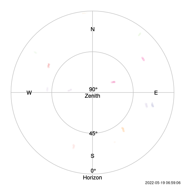
An R script tool-set that allows the creation of satellite 'SkyPlots' as shown in the examples below.
The plots can be static or animated.
Works in collaboration with the NMEA data extract tool to prepare the data formatting.
NMEA data, the raw recording data from a GNSS/GPS device, is necessary as it captures the satellite bearings and azimuths relative to the sensor.

License
 This work by Cyrille Médard de Chardon is licensed under a Creative Commons Attribution 4.0 International License.