Movement data analysis tool
This tool replicates provided movement data in real-time.
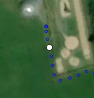
Beyond gaining familiarity with the GeoJSON format, this program allows the communication of the spatial relationship of a tracked object relative to the surroundings in real-time by overlaying it on a webmap.
A few additional features are available:
- Time dilation to allow slow-motion or sped up movement
- Addition of other GeoJSON features for comparison
This has various applications for exploring and reporting data.
The tool can be used from the link provided, or downloaded to modify, for example, the base map used.
Classroom applications
Combined with a GNSS exercise, movement data, and particularly speed, can be visualized and communicated very effectively.
Have students take part by gathering data with a GNSS/GPS device and visualizing it. This is effective in having students understand that GeoJSON is human readable data and the data contained in GNSS data.