Airborne LiDAR Data Manipulation and Visualization Workshop for Forestry Applications
Resource URL: https://tgoodbody.github.io/lidRtutorial/
Created by Tristan R.H. Goodbody, Jean-Romain Roussel
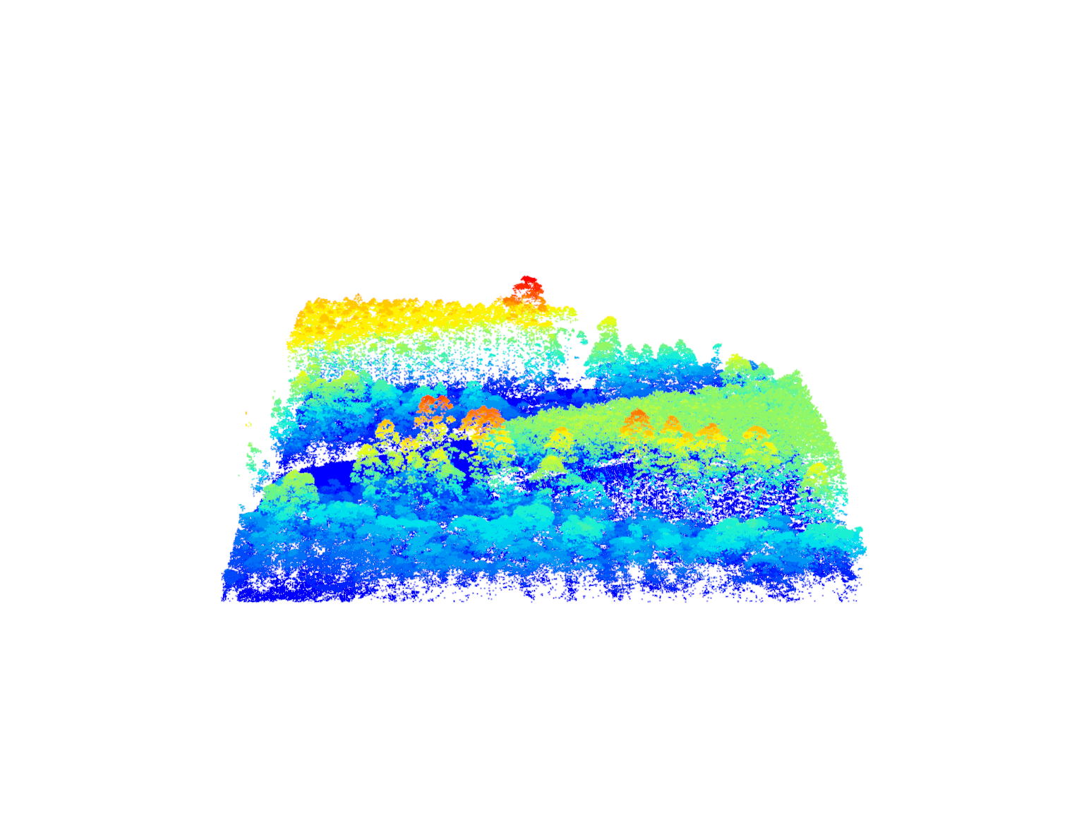
This introduction to processing LiDAR uses the R library lidR.
The resource would best be used following a theoretical explanation of what LiDAR is and how the data is generated. The resource's exploration of the data will be enriched by this knowledge.
The workshop can lasts about 3 hours. Exercises are may need to be completed with additional time.
The workshop intends to:
- Present an overview of what can be done with [the R-package] lidR
- Give users an understanding of how lidR may fit their needs
Topics covered:
- Data reading, plotting, querying, and validation.
- Spatial sub-selection
- Aggregation metrics
- Signal filtering (tree canopy) and spatial interpolation
- Signal filtering (ground) and terrain models
- Individual tree detection and segmentation
- Using the data catalogue (LAScatalog)
- Parallel processing larger data sets